Property Ownership & Land Management
- Home |
- Property Ownership & Land Management
Download


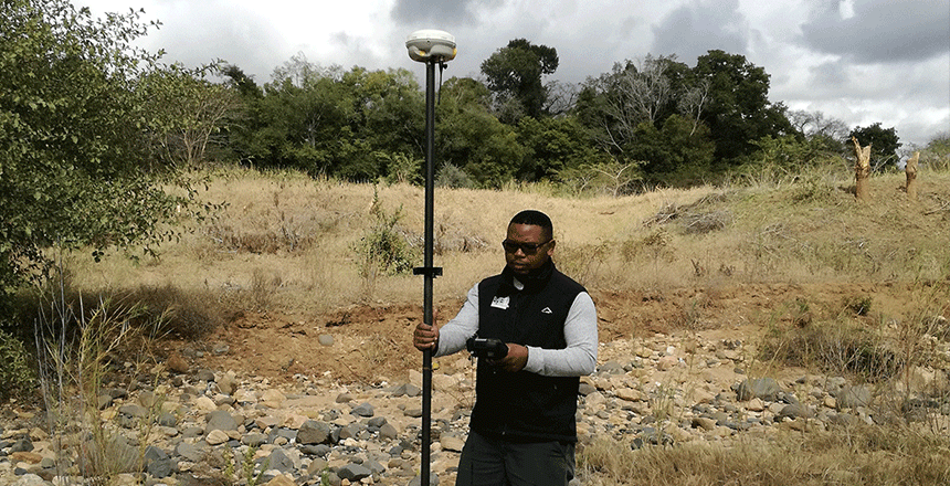
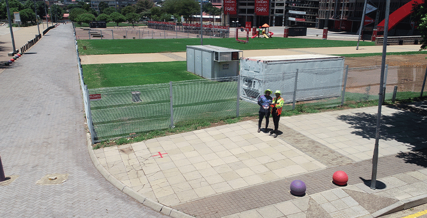
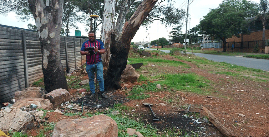
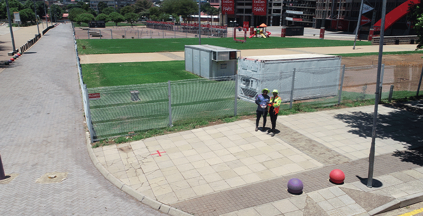
We ensure accurate property management that complies with the recent regulatory structure that ensure sustainable land developments. Our happy clients include private clients (such as individual landowners) to public clients such as municipalities and different government departments.
- Land Audits
- Beacons relocation certificates
- Servitudes, rights limitations and entitlements
- Sectional Title Scheme Amendments
- Legal Support Services
Our full range of surveying services at Topographical & Aerial Surveys are intended to deliver precise and thorough geographic data. Understanding the topography of the land requires the use of contours and base plan surveys, which are included in our topographical surveys. In order to help planners, architects, and engineers perceive changes in the terrain and make well-informed decisions about land use and development, we create Digital Elevation Models (DEMs) and Digital Terrain Models (DTMs).
To provide superior Ortho-Rectified Imagery, we employ cutting-edge technology in addition to conventional surveying methods. Since it removes the distortions caused by aerial photography, this imagery is essential for mapping and analysis, giving a realistic representation of the earth’s surface. Our ortho-rectified photos provide our clients with a trustworthy visual reference for a range of uses, such as environmental studies, infrastructure projects, and land-use planning.
We also have the ability to swiftly and effectively collect detailed data using Aerial Drone Surveys. We can precisely survey vast regions with drones that are outfitted with state-of-the-art imaging technology, gathering high-quality photographs and data that can be processed for further research. This strategy minimizes the need for humans to reach difficult terrain, which improves safety while also cutting down on surveying time.
Our area of expertise is in building 3D models, which offer a dynamic depiction of the landscape under examination. These models are very useful for planning building projects, simulating scenarios, and viewing topographical aspects. Our team uses cutting-edge software to convert unprocessed survey data into understandable 3D visuals so that clients can make more informed planning decisions based on their improved topographical understanding.
We guarantee that our clients receive the most precise and thorough topographical and aerial survey services available by fusing cutting-edge technologies with time-honored surveying techniques. Whether for infrastructure planning, urban development, or environmental monitoring, Topographical & Aerial Surveys is committed to providing excellent outcomes that take into account the particular requirements of every project.
What kinds of surveys are available?
We provide 3D models, aerial drone surveys, topographical surveys, and orthorectified photos.
How might my project profit from aerial drone surveys?
Quick access to high-resolution data is made possible by aerial drone surveys, which cover wide areas with increased efficiency and safety.
What does a Digital Terrain Model (DTM) serve as?
To help with planning and land use choices, a Digital topography Model (DTM) visualizes changes in topography.