Topographical & Aerial Surveys
- Home |
- Topographical & Aerial Surveys
Download


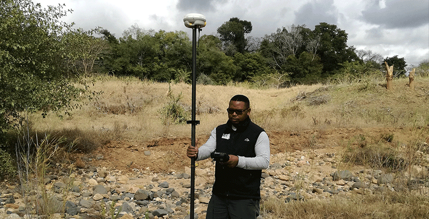
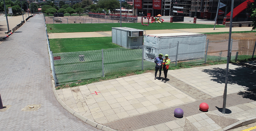
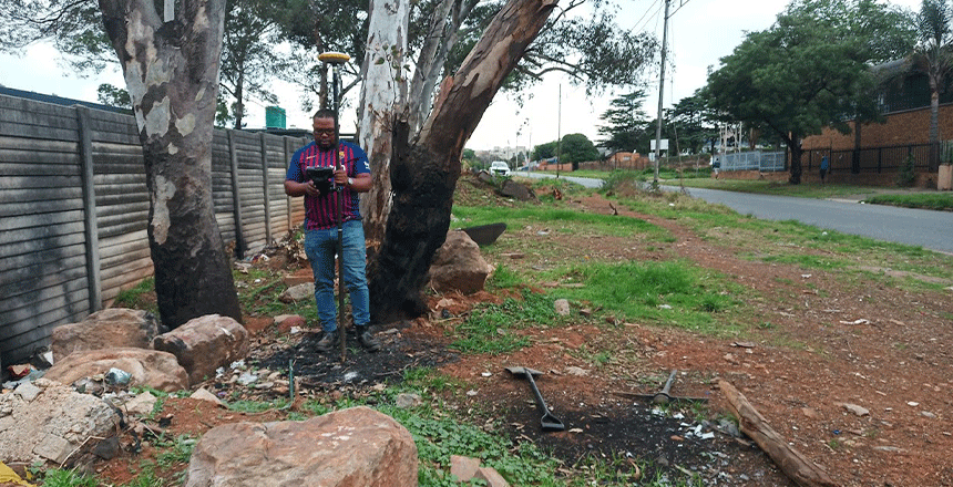
For any future development planning, with work with a number of Professionals such as quantity surveyors, architects, engineers to enable accurate planning, design and quantifying, etc. This is achieved through accurate ground, underground and overhead feature positioning using aerial drones, Ground Positioning Systems, total Stations, etc.
- Topographical surveys – Contours/ base plan surveys, DTMs & DEMS
- Ortho-rectified imagery
- Aerial drone surveys
- 3D models
We at Topographical & Aerial Surveys are committed to providing accurate and thorough survey services that address a variety of project requirements. Digital elevation models (DEMs), digital terrain models (DTMs), and base plan surveys are just a few of the topographical surveying services we offer. In order to make educated decisions during the project’s design and construction stages, engineers, architects, and planners need precise information about the land’s surface, which is why these surveys are so important.
We offer ortho-rectified imagery using cutting-edge technology, guaranteeing that every aerial image is mathematically corrected to generate a consistent scale. This procedure is very useful for land use studies, environmental evaluations, and urban planning since it provides extremely exact measurements and a genuine picture of the land. Professionals across a range of industries depend on our ortho-rectified photos as a dependable visual reference that works flawlessly with GIS (Geographic Information Systems) software.
We also provide airborne drone surveys, which are a cutting-edge and effective way to get high-definition photos and data over broad regions. We can carry out surveys swiftly and safely thanks to drones, which also give us access to real-time information about the land’s features and topography. This methodology is especially advantageous for tasks involving regular updates or traversing challenging terrain, guaranteeing that our clients obtain precise and fast information to steer their endeavors.
Apart from providing regular surveys, we are experts in building 3D models that present structures and terrain in an engaging, dynamic way. Better project planning and collaboration are made possible by these models, which play a key role in improving stakeholder understanding and communication. We assist our clients in visualizing their projects and making better-informed design decisions that achieve their goals by presenting data in a three-dimensional context.
What is a topographical survey?
A topographical survey records the land's features and contours, giving planners and designers crucial information.
In what ways might aerial drone surveys help projects?
Accurate measurements and real-time updates are ensured while accessing difficult-to-reach places with aerial drone surveys, which provide high-resolution imagery and data rapidly.
What use do 3D models have in surveying?
In order to improve stakeholder understanding and communication for improved project planning and decision-making, 3D models graphically depict landscape and structures.xpected events or losses from individuals or businesses to an insurance company. To obtain insurance, individuals or businesses must pay a premium, which is the cost of the insurance policy.