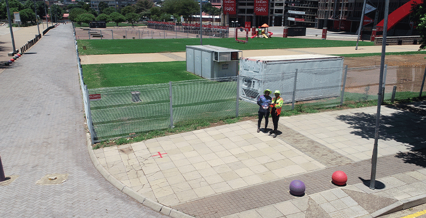

The Significance of Precise Property Lines in Development Initiatives
A development project’s success depends on having precise property borders. They precisely delineate a property’s boundaries, guaranteeing that all development and land use operations are conducted within the permissible bounds. Developers run the danger of intruding on neighboring properties in the absence of clear boundary definitions, which can result in expensive legal conflicts and project […]
Read More
How Project Efficiency Is Enhanced by Building Information Modeling (BIM)
Building Information Modeling (BIM) provides a thorough digital depiction of a building’s attributes, and it has completely changed the construction business. A thorough understanding of all facets of a building project, from structural components and systems integration to architectural design, is made possible by this technology. Planning and design procedures are greatly enhanced when project […]
Read More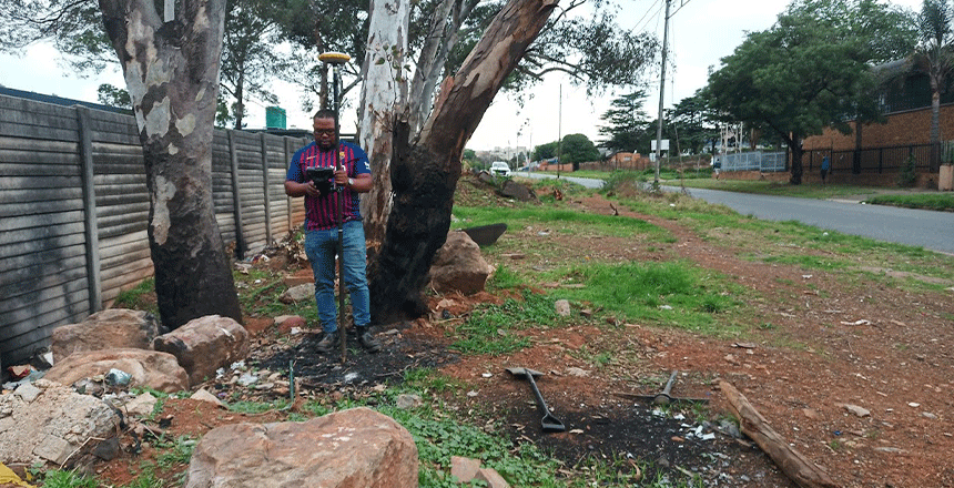
The Significance of Topographic Surveys in Ensured Project Success
Accurate mapping of geographical features, such as elevation and contours, requires topographic surveys. These surveys record both natural and man-made features, such as hills, valleys, and buildings, and provide precise information on the topography. Maps that depict the three-dimensional surface of the land require this data to be created. Topographic surveys are very useful for […]
Read More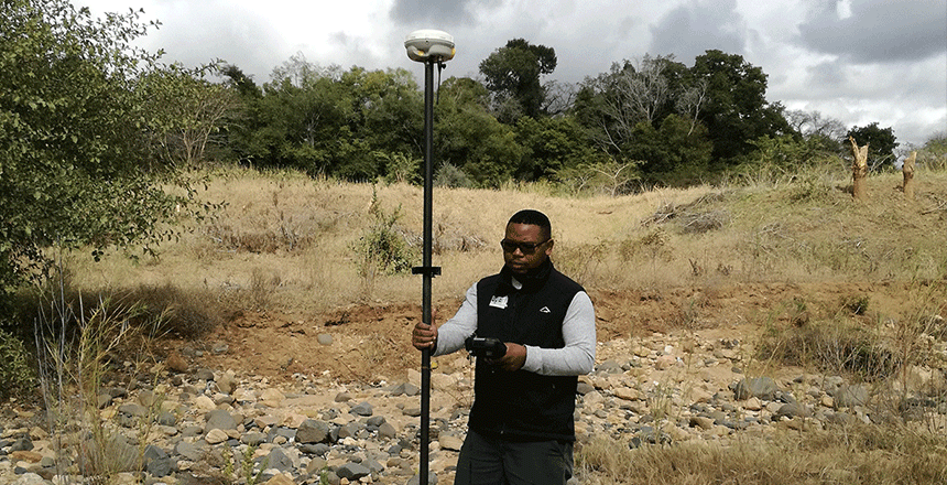
Geospatial Solutions’ Function in Efficient Property Development
Due to their ability to provide crucial data and insights that impact each phase of a project, geospatial solutions are critical to the success of real estate development. These technologies give precise and comprehensive information about topography, geographical characteristics, and existing infrastructure. Examples of these technologies are remote sensing, Geographic Information Systems (GIS), and satellite […]
Read MoreRecent Post