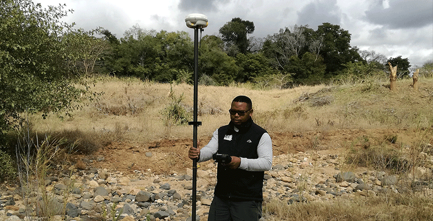

Accurate mapping of geographical features, such as elevation and contours, requires topographic surveys. These surveys record both natural and man-made features, such as hills, valleys, and buildings, and provide precise information on the topography. Maps that depict the three-dimensional surface of the land require this data to be created.
Topographic surveys are very useful for projects involving design and construction. They aid in the understanding of the land’s contours by engineers and architects, ensuring that buildings are built in harmony with the surrounding environment. This avoids problems like flooding or instability and makes infrastructure planning possible.
In environmental studies and land development, topographic surveys are also very important. By giving developers a comprehensive grasp of the land’s features, they aid in the assessment of projects’ environmental impact and aid in the planning of future developments. Having this knowledge is essential for making wise selections.
Selecting a knowledgeable surveying team is essential for precise topographic mapping. Reliable data can be provided by experts with current technology and experience, guaranteeing that the foundation of your project is accurate and comprehensive land information.