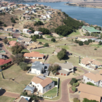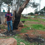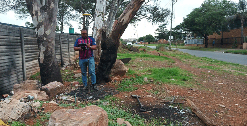
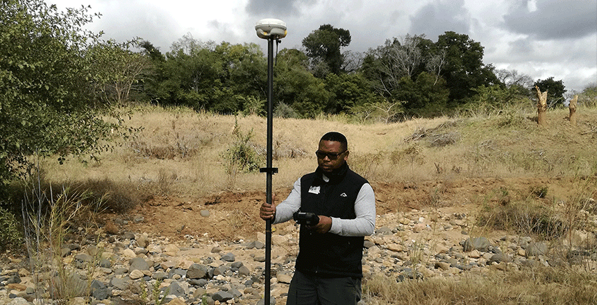
Due to their ability to provide crucial data and insights that impact each phase of a project, geospatial solutions are critical to the success of real estate development. These technologies give precise and comprehensive information about topography, geographical characteristics, and existing infrastructure. Examples of these technologies are remote sensing, Geographic Information Systems (GIS), and satellite images. Making educated decisions during the development’s planning and execution stages requires access to these data.
The capacity of geospatial technologies to improve site analysis is one of its main advantages. Developers are able to evaluate the suitability of the site, recognize possible obstacles, and comprehend environmental aspects that may have an impact on the project by studying spatial data. This comprehensive research aids in the selection of ideal locations and the creation of developments that are both workable and sustainable.
Comprehensive project planning is also supported by geospatial technologies. Extensive mapping and spatial analysis facilitate exact project designs, precise resource distribution, and efficient stakeholder collaboration. This system makes sure that every project component—from utilities to infrastructure—is taken into account, resulting in more effective and coordinated planning.
In addition, geospatial solutions are essential for risk management. These technologies support developers by giving them comprehensive information on possible risks, environmental limitations, and regulatory requirements. This proactive strategy guarantees better project execution and lessens the chance of expensive surprises, which ultimately contributes to more robust and successful real estate developments.