
A development project’s success depends on having precise property borders. They precisely delineate a property’s boundaries, guaranteeing that all development and land use operations are conducted within the permissible bounds. Developers run the danger of intruding on neighboring properties in the absence of clear boundary definitions, which can result in expensive legal conflicts and project delays.
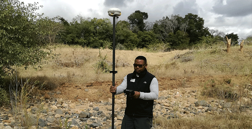
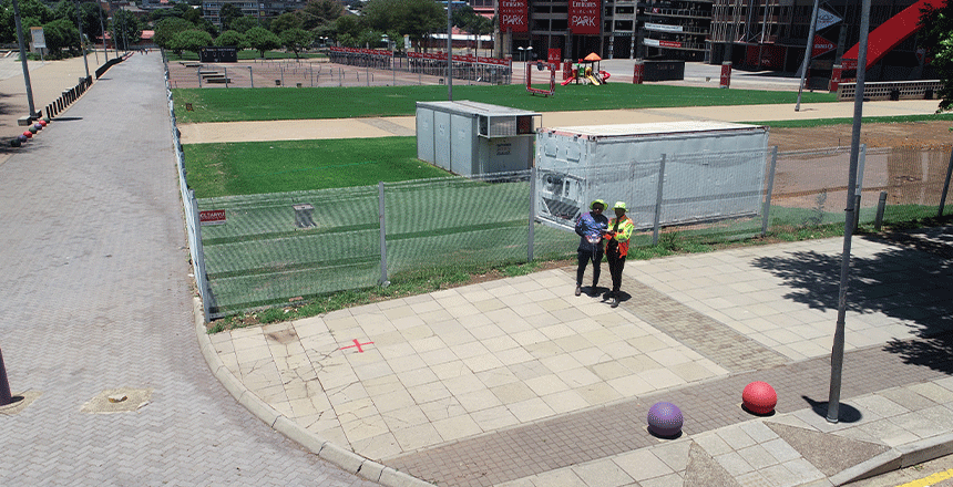
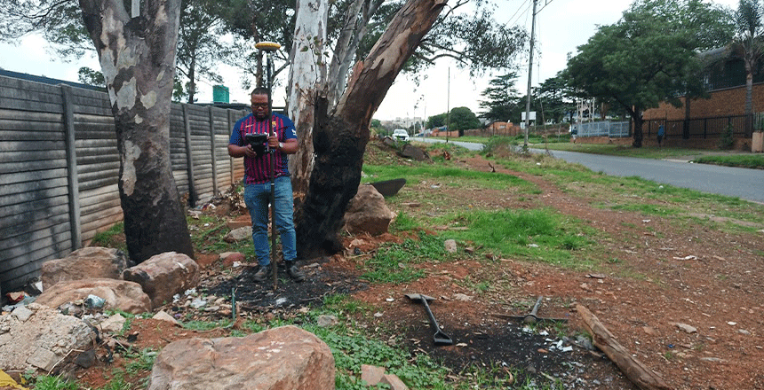
Boundary surveys are essential for averting these problems because they offer accurate and thorough measurements of property boundaries. This attention to detail guarantees that the project complies with local construction and zoning standards and helps prevent disputes with nearby property owners. Developers can reduce the likelihood of legal issues and project delays by investing in precise boundary studies.
Furthermore, accurate boundary data makes the project procedure more effective. Defined boundaries between properties aid in the efficient planning and distribution of resources, lowering the possibility of mistakes and redoing. This efficiency reduces expenses related to project delays and redesigns in addition to saving time.
In conclusion, obtaining precise property borders through collaboration with skilled surveyors is an essential stage in every development project. Their knowledge guarantees that property boundaries are drawn accurately, resulting in more successful project implementation. Precise boundary surveys are a prudent expenditure that yield benefits in terms of operational effectiveness and legal safety.